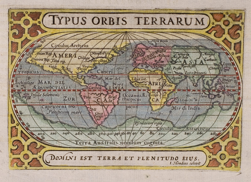
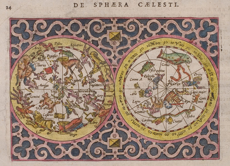
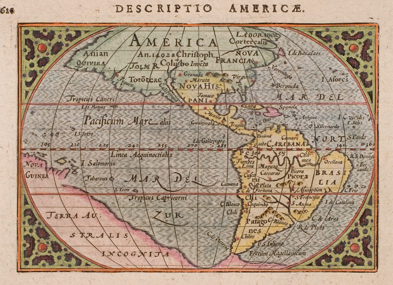
We are presenting 30 beautifully coloured copper engraving maps from the atlas Tabularum Geographicarum Contractarum (Amsterdam, Cornelius Nicolai, 1602) by Petrus Bertius (1565 -1629).
Petrus Bertius (* 1565; † 1629)
grew up in Beveren (Flanders). As young man he travelled extensively throughout Europe and studied languages in London, Leiden and Heidelberg. Being persecuted for his religious faith, he took refuge in Amsterdam for some time. After finishing his studies he worked as librarian and professor for mathematics at the university of Leiden.
Bertius became famous as geographer with his editions of Ptolemy’s Geographia (first edition 1618-19 at Jodocus Hondius the younger) and with his pocket atlas Tabularum Geographicarum Contractarum which was published in several editions from 1600 on. The maps presented here are from the second edition of this atlas, printed 1602 in Amsterdam.
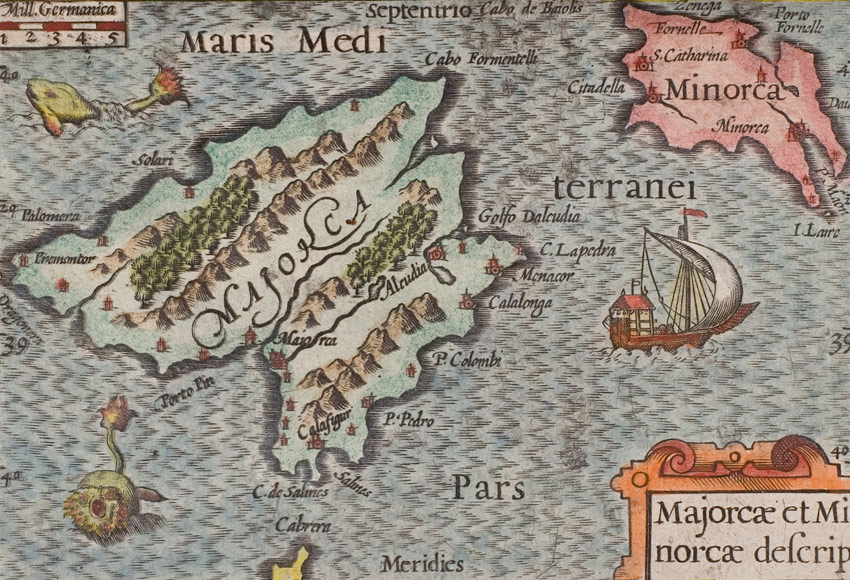
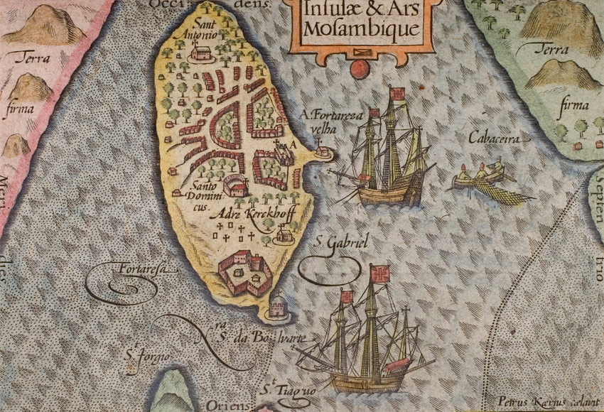
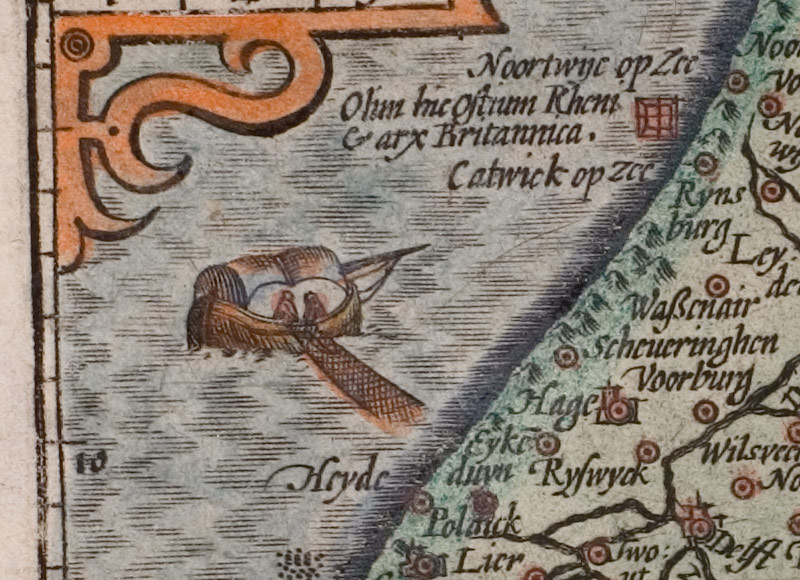
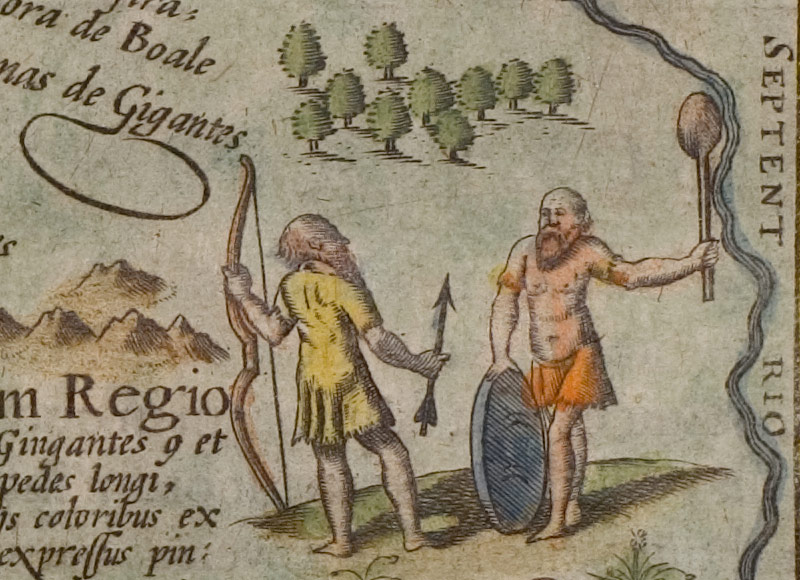
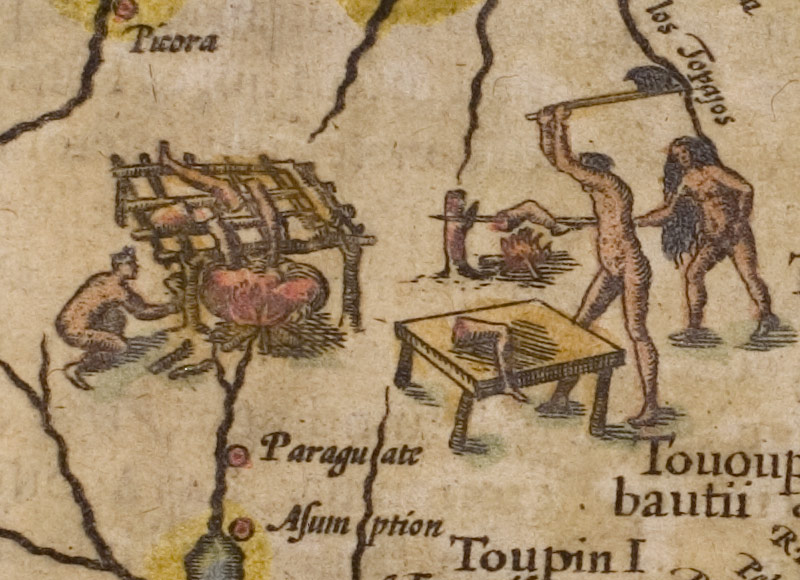
Despite an image size of only about 12 x 8.5 cm the maps are relatively detailed and feature decorative details like ships and sea monsters or the hatched depiction of the sea.
Bertius wrote the Latin text of the atlas and probably also worked on some of the maps. However, many of the maps have been engraved by the Belgian cartographer and publisher Pieter van den Keere (also Petrus Kaerius; 1570 – 1630) who was since 1599 married with Anna, the sister of Bertius.
The basis of Tabularum Geographicarum Contractarum was the atlas Caert Thresoor by Barent Langenes which was first published in 1598.
Besides his geographical work, Bertius also published numerous scientific writings on mathematics, history and theology. In 1618 he moved to Paris where he became geographer and historiographer of Louis XIII of France.
List of the Maps presented
- Africa
- America
- America Australis (
South America
)
- Anglia (England)
- Asia
- Barbaria (Northern Africa)
- Brasilia
- China
- Cuba Insula
- De Sphaera Caelesti (Celestial Chart)
- Elba
- Europa
- Fretum Magellanicum (Magellan Strait)
- Gallia (France)
- Graecia
- Hispania
- Iapan
- Iehova (
World Map)
- India Orientalis (
India and Southeast Asia)
- Insulae & Ars Mosambique (Madagascar)
- Insulae Philippinae
- Islandia
- Italia
- Majorcae et Minorcae descrip.
- Maldivae Insulae
- Russia
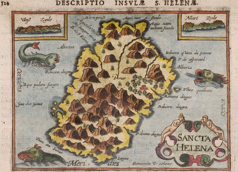
- Sancta Helena
- Turcicum Imperium
- Typus Orbis Terrarum (World Map)
- Zuydholland